National Aeronautics and Space Administration
Goddard Space Flight Center

ICESat banner
ICESat: Visualizations
ICESat: Visualizations
Link: ICESAT World ElevationsICESAT Reference Orbit Groundtrack Maps:
- Arctic 91-day repeat track (pdf)
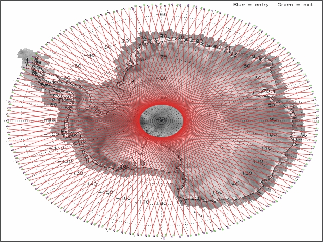
- Antarctic 91-day repeat track (pdf)
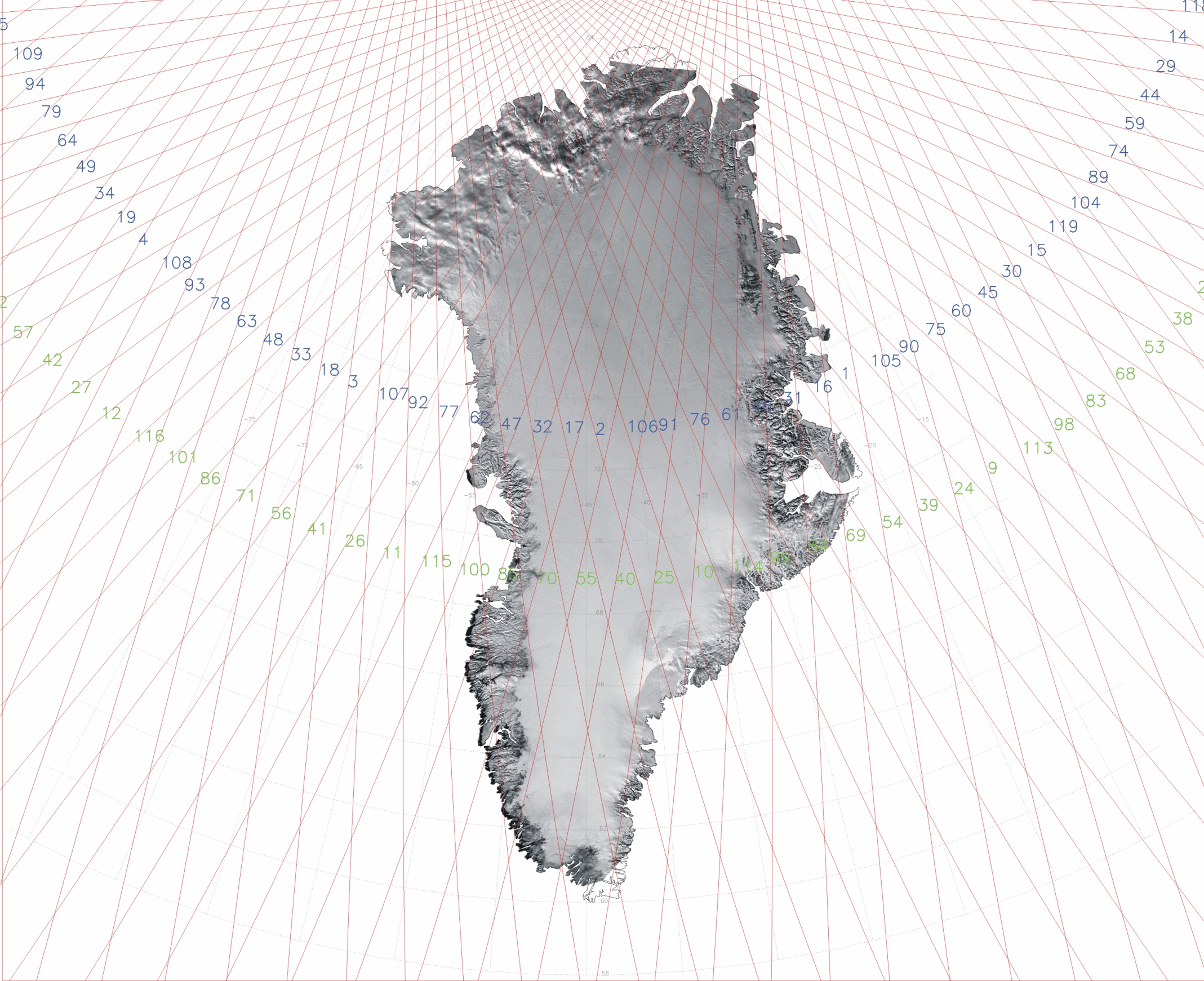
- Greenland 91-day repeat track (pdf)
- World 91-day repeat track (pdf)
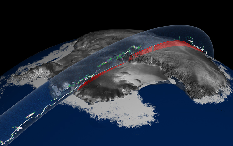
ICESat Elevation and Cloud Illustration
This figure illustrates ice sheet elevation and cloud data from ICESat's GLAS on its first day of operation February 20, 2003.
ICESAT MAPS:
Click on the images to see the full scale of the image
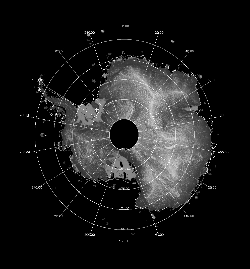
| ICESat Antarctica Grid | Antarctica 8 Day Repeat | Greenland 8 Day Repeat |

|

|

|
SCIENTIFIC VISUALIZATION SERVICE:
Atmospheric Data (Click on the image to see the animation - it takes some time to download the movies)
| Atmosphere Over Africa (Click for info) | Atmosphere Over India (Click for info) |

|

|
GSFC EARTH OBSERVATORY:
Click on the image to see the full scale of the image or get more information
| Antarctica's Land and Ice Elevation | ICESat High Resolution Image | ICESat High Resolution Image |

|

|

|
ANIMATIONS:
Courtesy of Chris Meaney, Conceptual Image Lab, NASA/Goddard Space Flight Center.
Click on the image to see the movie
Follow me on Twitter!
- NASA Official: Dr. H. J. Zwally
- Webmaster: Jairo Santana
- Page Last Updated: Jul 27, 2016


