


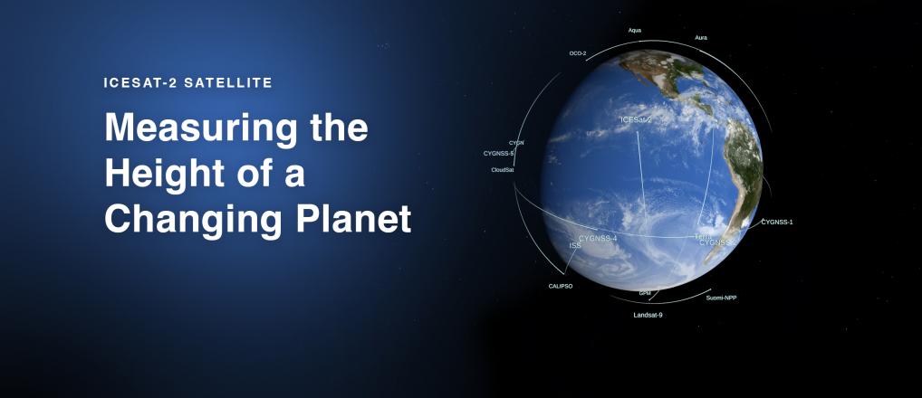

ICESat-2 is currently on-orbit. Find the ground tracks here.
ICESat-2 MISSION PHASES
ATLAS Instrument and Spacecraft Development
Integration and Testing
Pre-Launch
Launch
Check-Out
Orbit and data collection

Icesat-2 Launch. Learn more.
News
ICYMI: We counted down to ICESat-2's 2018 launch!
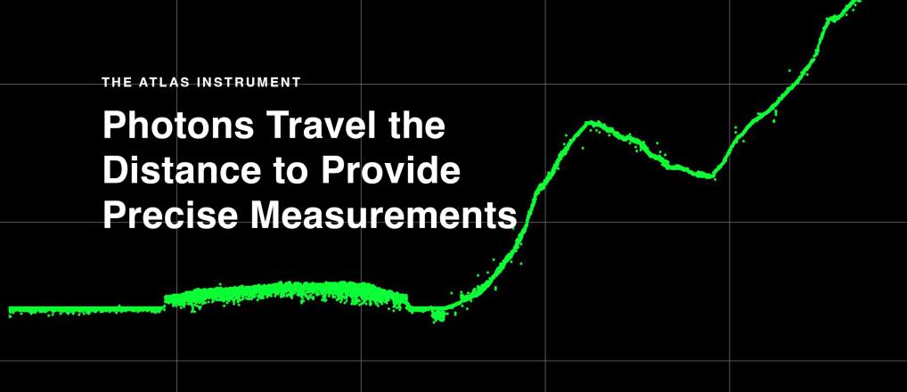
Space Lasers
ICESat-2's laser is split into six beams, to better measure Earth's surface. Find out more here.

Meet Your Guides
Hang out with Paige and Pho in the FunZone! Learn all about the ICESat-2 mission through videos and activities.

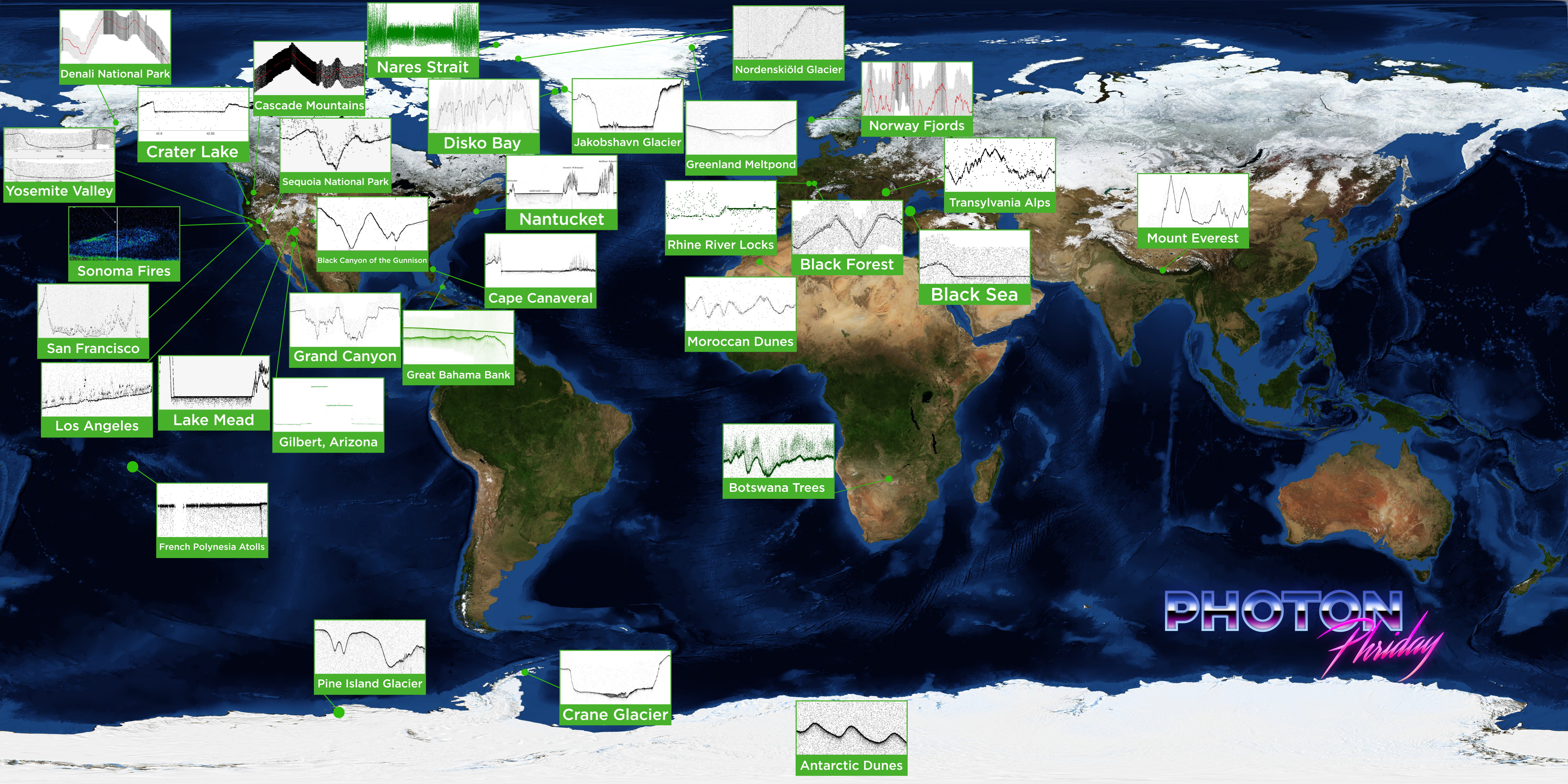
Photon Phridays!
2018-09-15 06:02:00
Feature Articles
Did You Know?
The ICESat-2 laser pulses 10,000 times a second; each pulse releases about 20 trillion photons. Only about a dozen photons hit Earth’s surface and return to the satellite.